The Norfolk Coast Path (Sutton Bridge to Hopton-on-Sea)
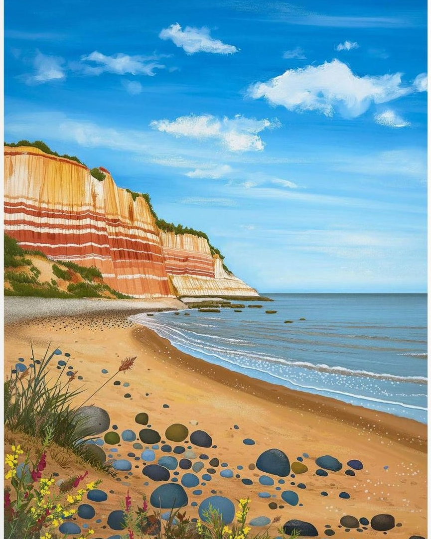
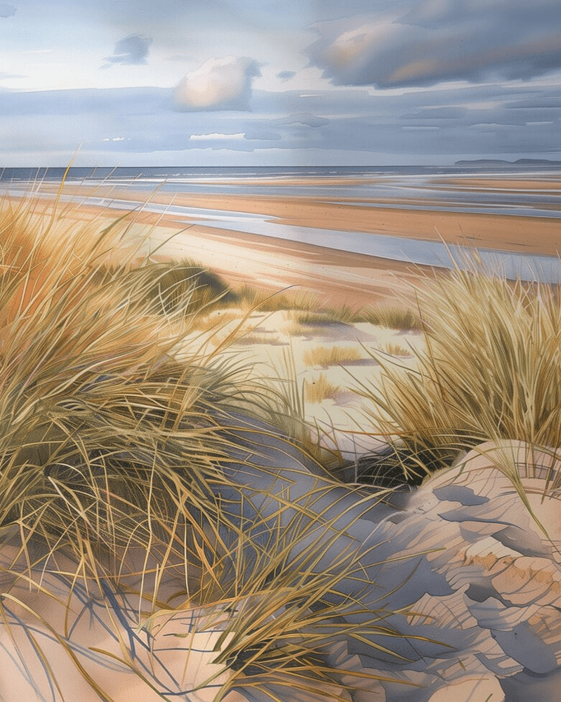
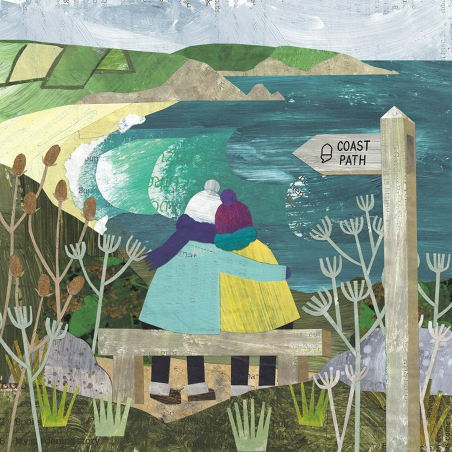
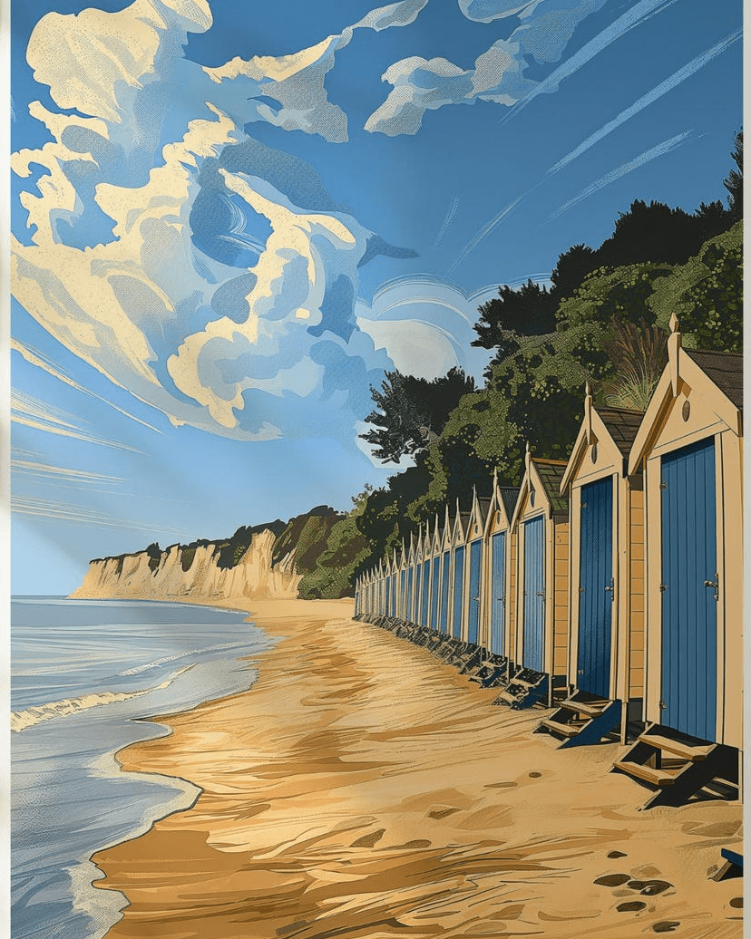
The Norfolk Coast Path offers tidal marshes, sandy beaches and big skies. Starting from the cliffs at Hunstanton, this waymarked route travels through flat, soft paths for an easier long walk.
While Wells-next-the-Sea and Cromer add classic English charm, birdwatchers flock to Blakeney Point and Cley Marshes, where grey seals and rare birds gather.
The Peddars Way starts at at Suffolk (near Thetford) and follows the route for 49 miles to Holme-next-the-Sea on the North Norfolk Coast.
Always follow the Countryside Code to keep all creatures safe. Keep dogs away from steep banks, mushrooms (and toxic plants/trees) and on leads near birds, barnyard friends and wild ponies.
If at the coast, keep away from nesting birds and never walk on sand dunes. Learn how to keep dogs safe by the seaside (check beach bans before travel). Join the campaign to ban flying rings, to help local seals.
How to upright an overturned sheep
Pregnant sheep (and sometimes due to wool waterlogged from rain) can sometimes roll over onto their backs, and can’t get back upright, due to having four stomach chambers (so will die if not turned back upright).
If you see a sheep on its back, just firmly right it back, then stay with it, until rain has drained off, so it won’t happen again. Then inform your local farmer.
The Norfolk Coast passes through:
Blakeney (this former medieval port has narrow streets with flint cottages and hosts England’s largest grey seal colony and many bird breeding sites. Known in history as Bolshy Blakeney, this was because it was a very independent town that established a society in 1946 to keep homes affordable for local people.
Hunstanton (known as ‘sunny hunny’), this Victoria seaside resort has red-and-white striped cliffs and is one of the few places on the east coast you can watch the sunset over the sea, due to the west-facing beach. It’s also home to the River Hun (at just 3 miles, one of the shortest in England).
Sea Palling (‘Norfolk’s secret’) is a charming North Norfolk village where sheltered bays are now protected by artificial reefs, and visitors are advised to stay away from the large seal colonies. This village was very affected by the 1953 North Sea flood, commemorated at the local church.
The flood (caused a high spring tide that surged over sea walls in a bad storm) killed seven local people. The flood’s effects ended up creating the Thames Barrier, many years later.
The Peddars Way starts at at Suffolk (near Thetford) and follows the route for 49 miles to Holme-next-the-Sea on the North Norfolk Coast.
The route is roughly 130 km (about 80 miles). Most walkers break that into several days. Underfoot, expect a mix of firm paths, sea walls, field edges, dunes, beach, and some shingle. Because of that, difficulty depends on weather and route choice. Flat ground can still feel hard, especially on loose sand.